


Trail Profiles: North Umpqua Trail
 Trail Profiles: North Umpqua Trail
gearweare.net
Trail Profiles: North Umpqua Trail
gearweare.net
When looking for a great hike in Oregon, look no further than the expansive and varied North Umpqua Trail, commonly referred to as the NUT. The trail is named based on its location alongside the North Umpqua River in Southern Oregon, with the closest segment located approximately 25 miles from Roseburg. The spectacular North Umpqua River is a nationally registered wild and scenic river.
Table of Contents
ACTIVITIES
The NUT offers a cornucopia of options for the outdoor lover. It is a fabulous place to forage plants, fly fish, mountain bike, ride horses, hike, backpack, view wildflowers in bloom, or take breathtaking photographs.
TRAIL LOCATIONS AND DESCRIPTIONS
The NUT is broken into suggested sections, totaling eleven segments, which vary in length and difficulty. The twelve trailheads offer maintained trails ranging in length from 3.5 to 15.7 miles. The entire through hike covers just under 80 miles and elevation ranges from 800 feet (240 m) to about 6,000 feet (1,800 m).
Tioga
The Tioga segment traverses 15.7 miles across a forest of tall pine trees, many with a berth of up to six feet. Starting at the lowest elevations on the entire trail, this is accessible most times of the year. In the first quarter mile you will encounter Deadline Falls. One and a half miles further down the trail will deliver you to the small but majestic Fern Creek Falls. The next stretch will take you through several miles of meandering trail that weaves near the river. This is a long segment of the trail and an overnight stay is recommended for people hiking its entirety.
Mott
The Mott trail section runs directly alongside the North Umpqua River and offers several access spots along its 5.5 miles. As a side hike you can explore the 4-mile McDonald Trail where you will see an old homestead. Mountain bikers will enjoy the bonus 6-mile loop offered by the Riverview Trail.
Panther
The 5-mile Panther trail travels along the river, accentuating gravel bars, before climbing to rocky bluffs above. The Steamboat area is world-renowned for foraging and sightseeing. At one point, gold-hunters descended on the area, only to go home empty handed. Use the Mott or Panther trailheads to access the trail.
Calf
The moderate-difficulty Calf trail covers 3.7 miles of riverside country. This is a great trail to experience the sounds of the rushing rapids from this wild and scenic river. A massive fire in 2002 stripped the trees from much of the area, allowing an opportunity for today’s visitors to witness the recovery of nature as new trees thrive.
Marsters
This 3.6-mile segment hovers over the river while passing through 800-year-old forests of towering Douglas Fir trees. This is a nice hike on a hot day with the lush, moss-covered surroundings. Access the trail from Calf or Marsters trailheads.
Jesse Wright
The Jesse Wright Trails spread across 4.1 miles of intersecting trails that pass through a canyon, a forest filled with maple and fir trees, spectacular rock formations, and lava spires.
Dear Leap
This 9.6-mile trail is rated difficult when traveled from east to west and moderate if tackled starting from the west side. From the cliff vantage point of this segment you will look down on the beauty of the North Umpqua River. Be sure to take the trek from Toketee Lake over to the spectacular Toketee Falls as well as rock painting estimated over 250 years old. Camping is available at Toketee Lake.
Hot Springs
This pleasant 3.5-mile hike sees you crossing the scenic river three times as you switch back and forth down the trail. As a reward for making the journey, take in the Umpqua Hot Springs at a simmering 108 degrees of muscle-relaxing natural mineral water. A little further down the trail you can witness both Surprise Falls and Columnar Falls.
Dread and Terror
The Dread and Terror trail offers remarkable views, a ridgeline experience, and access to 102-foot Lemolo Falls. This leg of the North Umpqua Trail covers 13 miles.
Lemolo
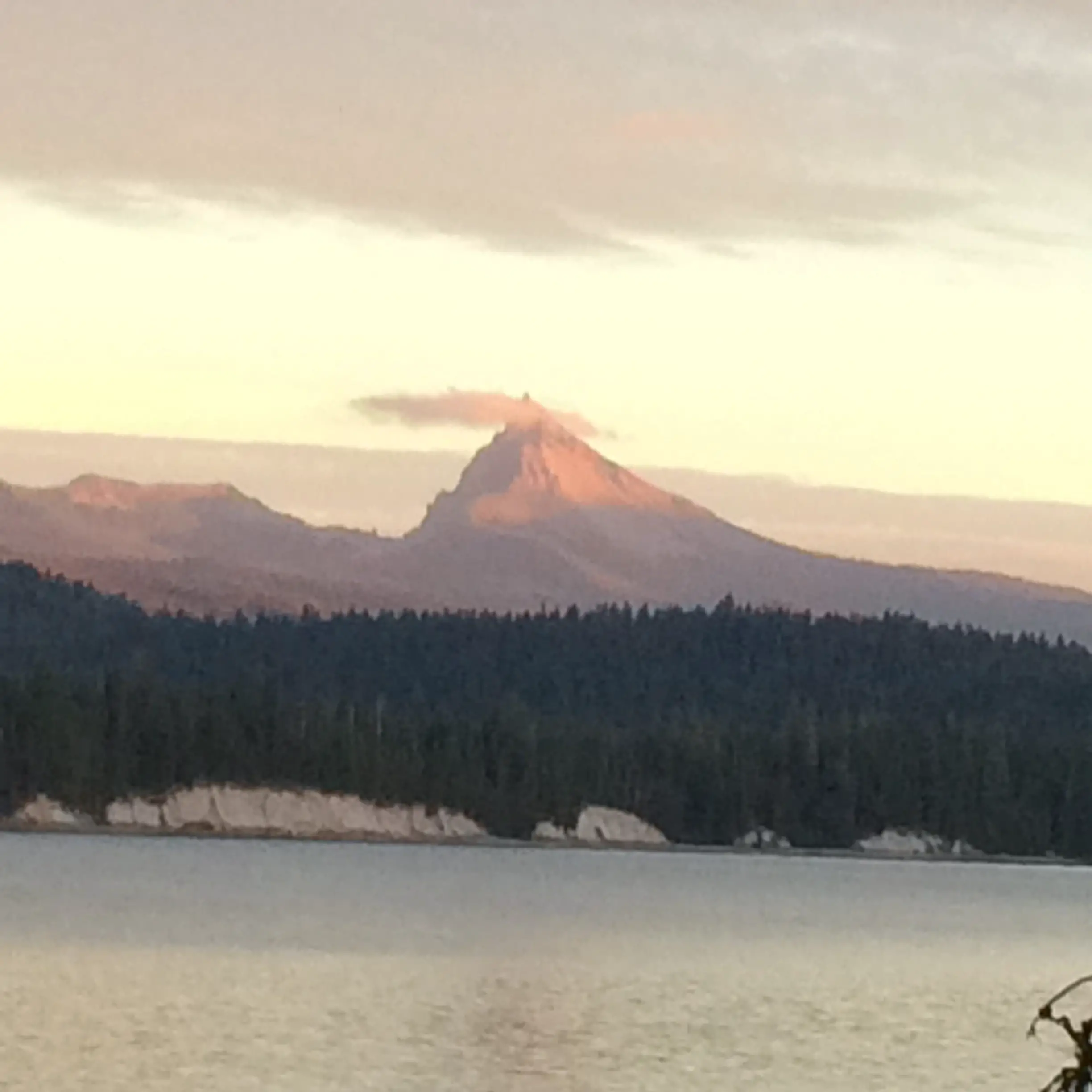
Starting at the White Mule Trailhead, the trail leads 6.3 miles through pine and fir forests. Be sure to take in the views of Mt. Thielsen and surrounding Cascade Mountains. For a stopover, check into the Lemolo Resort, which offers cabins, tent camping, and RV spots.
Maidu
The 9-mile Maidu segment of the trail passes through the gorgeous Mt. Thielsen Wilderness area. You will also see the pumice accumulations left from the eruption of Mt. Mazama over 7700 years ago. Be sure to take in both the small, but serene Lake Lucile (great lunch spot!) and the headwaters of the North Umpqua River, Maidu Lake.
A few warnings, as this is the wilderness after all. Watch out for poison oak, which is endemic in the area. The plant’s oils can cause an itchy and fast-spreading rash. If you come into contact with the plant, wash thoroughly and use a product such as Tecnu to stop it in its tracks. At the end of your hike, check for ticks. These small insects attach to your skin and slowly burrow inside. Look through you hair as well as all skin surfaces and gently remove any that you find.
Also come to the NUT prepared. Even a short day hike should include a pack of emergency items. Include food such as protein bars that travel well. Also bring water, a basic first aid kit, and additional layers of clothing-even if you don’t feel you will need it. It’s also a good idea to bring an emergency blanket and iodine or water filtration system as well as a mirror and/or flares, waterproof matches or lighter, and map/compass or reliable GPS system.
*If you plan to stay overnight along the trail, check with the Oregon Department of Forestry regarding current fire restrictions.