Garmin GPSMAP 64s
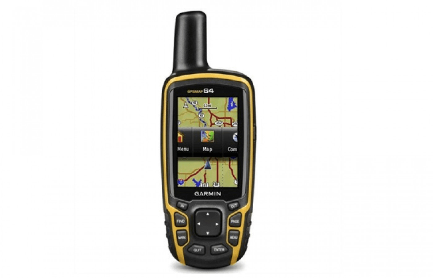
The Garmin GPSMAP 64s is a handheld device with full-featured and rugged with GLONASS and GPS included. Best for all outdoor trips, adventures, and activities, most people use it while camping, hiking, backpacking, hunting, and biking. It can pinpoint your exact location accurately and in under a minute using Garmin Custom Maps, Birdseye Satellite Imagery, and 100K and TOPO 24K maps.
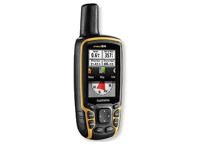
Other features include BaseCamp, Geocaching, and a worldwide base map with shaded relief. Water-resistant, lightweight, and slim, the Garmin GPSMAP 64s will record your whole trip or hike and save it for you. It has a card slot for microSD and 4GB of memory, so you can add maps of roads, marine, or topographic areas. The big plus of this model over others is the larger color display of 2.6 inches that is even readable in sunlight.
Read on further to see why buyers seem to enjoy Garmin GPSMAP 64s. If you are interested to check other Garmin models, read this guide. This model has reached the position of number 5 among the best ten. If you are curious to learn which model is first on the list, click here. This thorough review will provide all the details so you can compare it with the other models, and choose wisely.
Full-featured, hand-held, and rugged
For all outdoor trips, adventures, and activities
Load satellite images and use them with the maps
Location identification in 30 seconds
Battery pack can charge inside the product
Water-resistant, lightweight, and slim
Best for hunting, camping, backpacking, and camping
Color display of 2.6 inches - readable in sunlight
Paperless caching, GLONASS, and GPS
Accurate within 10 to12 feet
Is not a touchscreen; resolution can be grainy
Menus can be confusing; features are not grouped well
Durability
Much to the disappointment of buyers, it is not a touchscreen as some other popular models are nowadays. Navigation is by pressing buttons to move through the menu and possible functions. It does have over 1000 online reviews from mostly satisfied users with a decent rating.
Flexibility
The internal memory is expanded with 4GB of memory and includes a card slot for microSD. You can download geotagged photos from the Internet and go directly to them with the included quality of photo navigation. Add maps that are of roads, marine, or topographic or download 100K maps and TOPO 24K maps before you travel.
One of the best aspects of this GPS product is Birdseye Satellite Imagery for maps and location identification or specific areas. From buyer feedback, we found that several customers had trouble with this part of the device. It did not work correctly for some people since it is a download for the map areas you want.
The file can be too big for the amount of data this device can hold. For instance, if you know that you will be hiking in some regions of your state, downloading the whole state map would be too much. It is better for the storage capability to just put in the area map of where you will be instead.
Size
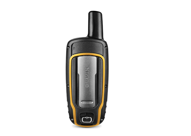
However, weight might be an issue for some people. If that's the case, consider lighter options. Even at 9.3 ounces, for what this item can do for you, it is not heavy or cumbersome to carry.
The overall dimensions are 1.4 x 4.2 x 6.3, and the full-color screen display is 2.6 inches in size. It is even readable in sunlight, which is extremely important when you are outdoors.
The vital thing to note with these dimensions, as you will see in our Versions section, is that Garmin has made the screen more significant but the device smaller. This results in a product that is mostly screen, as it should be.
Stability
The BaseCamp software permits the user to organize and view tracks, routes, maps, and waypoints. BaseCamp is free software for trip planning used to make your own Garmin Adventures. It is shareable with family, friends, and companion explorers.
Also, it shows topographic data of maps on the computer screen in the 2D or 3D format along with elevation profiles and contour lines. BaseCamp transfers endless satellite images when used with Birdseye Imagery to your device.
Support
From Geocaching.com there is paperless caching with the 250,000 caches that are preloaded for you. It displays and stores essential information, such as descriptions, hints, difficulty, location, and terrain. Geocaching does help in cases of the user becoming lost along the way but will not give you directions for returning that are specific to each turn.
You must follow the points (or electronic breadcrumbs, as they call it) put into the device for getting back on track. Enter the waypoint at the start, know how to use this product, and bring extra batteries for the best use, according to current users. On the negative side for support of this product, the owner instruction manual could be improved with the given explanations. However, the operators on call are great and take up this slack for those having issues.
Use
Maintain your position anywhere with the Garmin GPSMAP 64s as it locates your position fast. It will even accurately keep that position when you are in deep canyons or heavy cover. Use the preloaded cards for activities dealing with waterways or road routing with map data from Navigator NT.
Version
Yes, we were too at first, but we can help by sorting out the vast amount of information on these devices. The other models besides this 64s device that are similar are the 64, the 64st, eTrex 20x, and the 66s.
Very similar in name, right? Well, compared to the 64 and 64st model, the 64 has fewer features. The 64 lacks the accelerometer, compass, barometric, altimeter, Garmin Connect Mobil (or Live track), and the Birdseye subscription for free for a year. The Garmin 64 is a more economical choice, so more people have bought and reviewed it than the others.
The screen size is the same as the 64st but more significant than the other models. The overall dimensions of 1.4 x 4.2 x 6.3 inches are smaller than the others. The Garmin 64 and the eTrex operate with Bluetooth technology, and the other two do not.
Accuracy
Connectivity
Using Birdseye allows the loading of satellite images and using them with the maps. Most people get the subscription for this so they can enjoy the full qualities of the Garmin product.
Ease of Use
Also, the resolution of the screen can be grainy. The features might not be grouped and categorized as well as they could be. These few minor points bothered some customers, so they included these remarks in their comments with their review.
Power Source
The lithium battery pack is chargeable when it is still inside the product, so you do not have to take it out. Judging by the customer reviews, most people went with the rechargeable batteries. For those that did use the regular batteries, some of them found that they do not last long and needed replacing within a few hours. This depends on what you are using because, with minimal use, either type of battery will last much longer.
Bottom Line
The Garmin GPSMAP 64s has plenty of strong points too. Garmin products have a good reputation, so we know right from the start that it is of high quality. The Garmin GPS 64s has the desired mapping and location features of the hiker and backpacker, a reasonable price, and the Bluetooth technology that everyone loves and depends on considerably.


